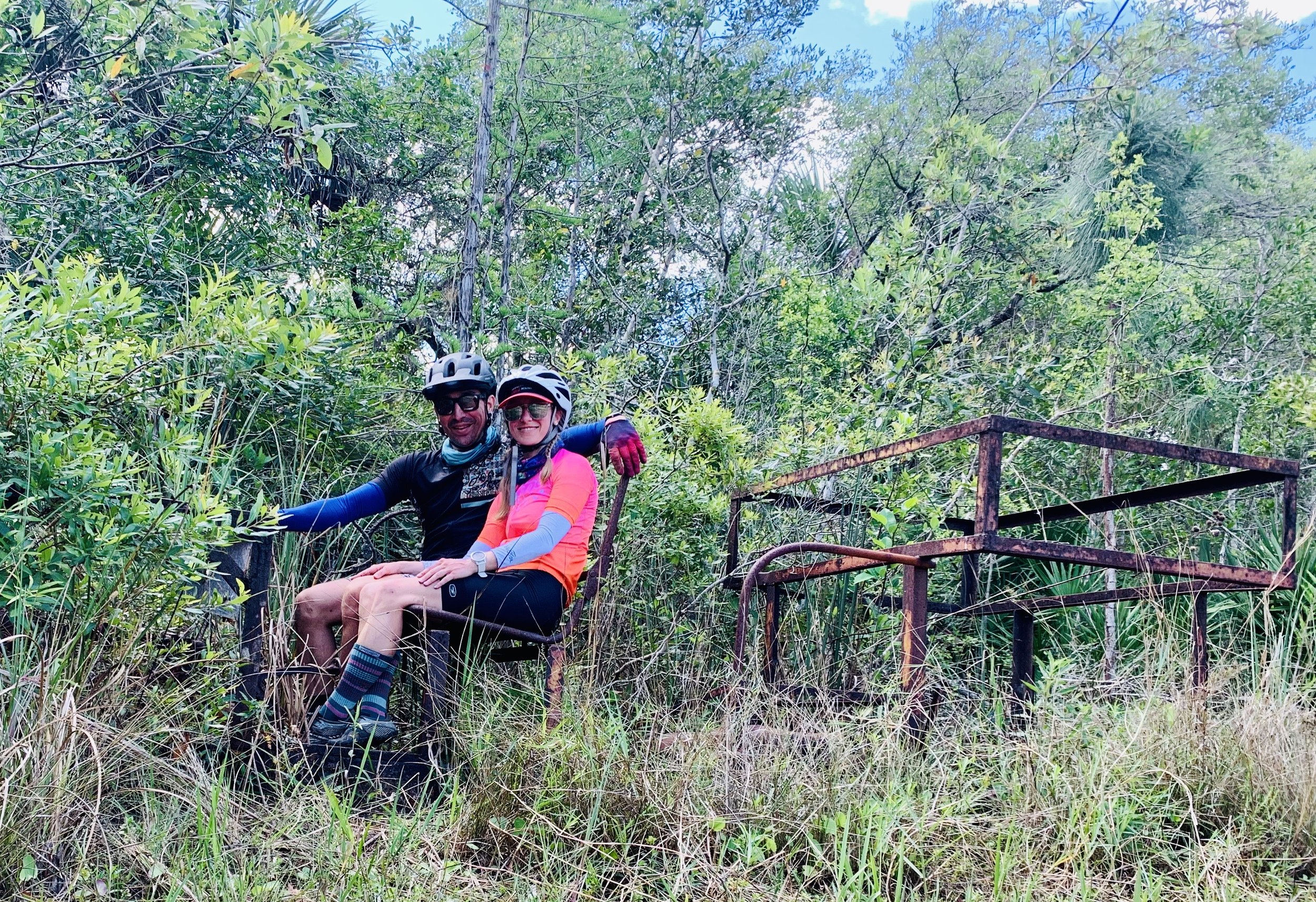
Crossing Concho Billie
Old Swamp buggy Skeleton we found on the trail
Nine years ago, I rode south through Big Cypress with my friend Bob Capers, the majority of what we rode eventually made its way into the final version of the Florida Divide and future segment of the Eastern Divide Trail. It took two years after that first scout to carefully craft the rest of the Florida Divide route. I chose Fargo, Georgia, as the start because it was the headwaters of the Suwannee River and the perfect place to host the beginning of this first segment. On that trip, I successfully made it all the way to Flamingo but was unable to follow the original plan to traverse through the heart of Big Cypress. Instead, we skirted the edge along Turner River Road.
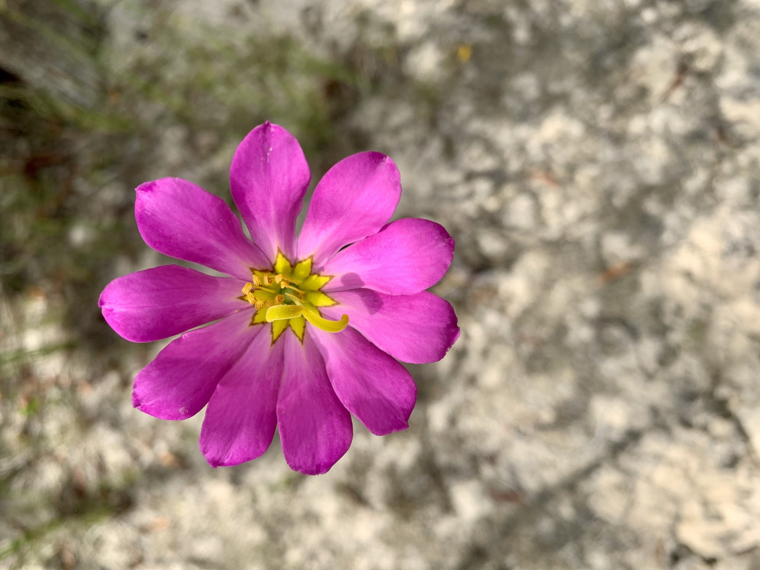
The nice parts of concho billie
On the second trip, Charlie Kemp met up with me at the north end of Tosohatchee. We attempted to go south via my mapped route that would take us down the center of the Big Cypress. While out on that scout, I lost my chainring bolts before River Ranch and had to veer off route 110 miles over the Lake Wales Ridge. I managed to make it to the bike shop in Sebring with a chain ring held together by nuts, bolts, and zip ties.
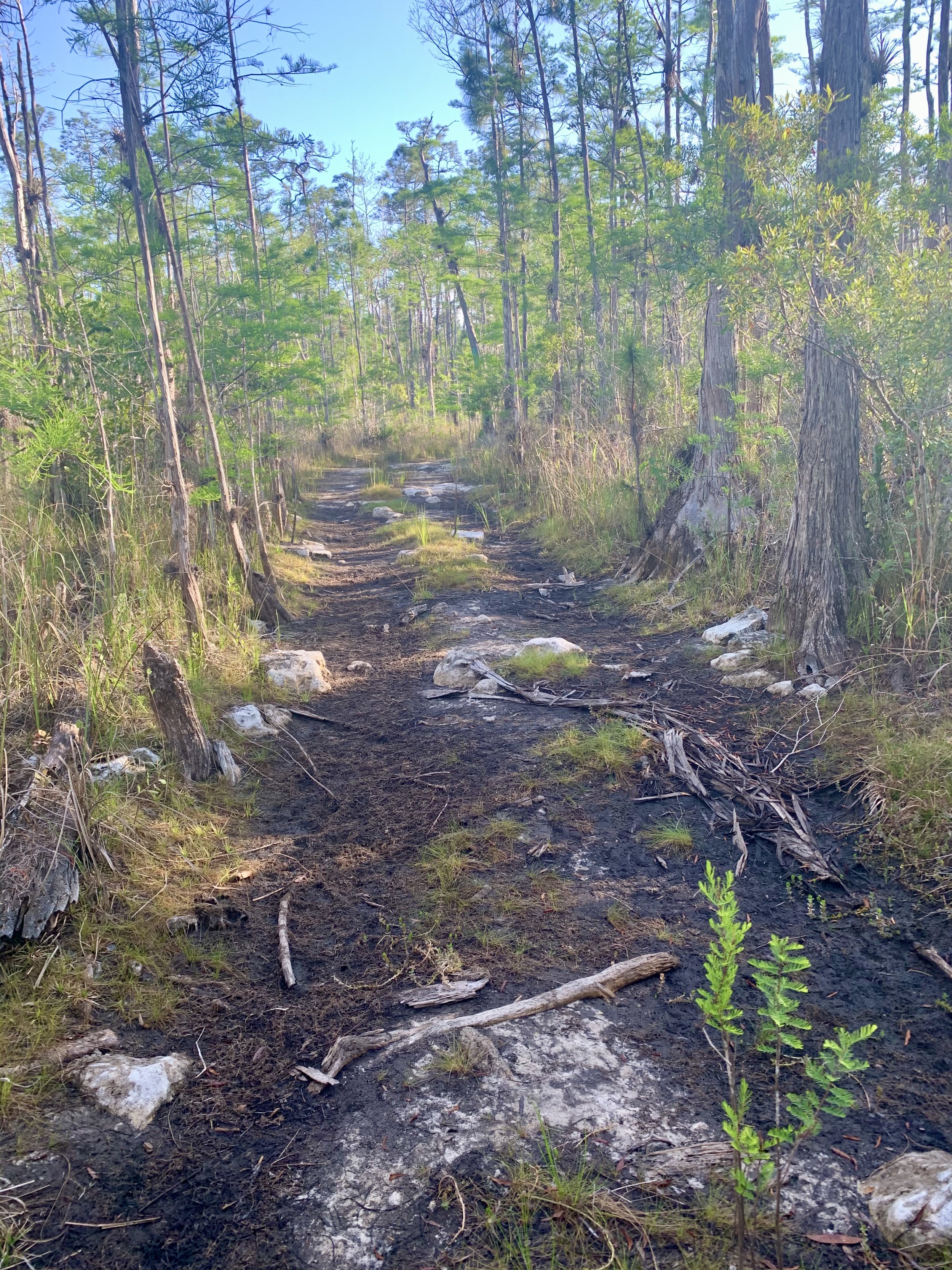
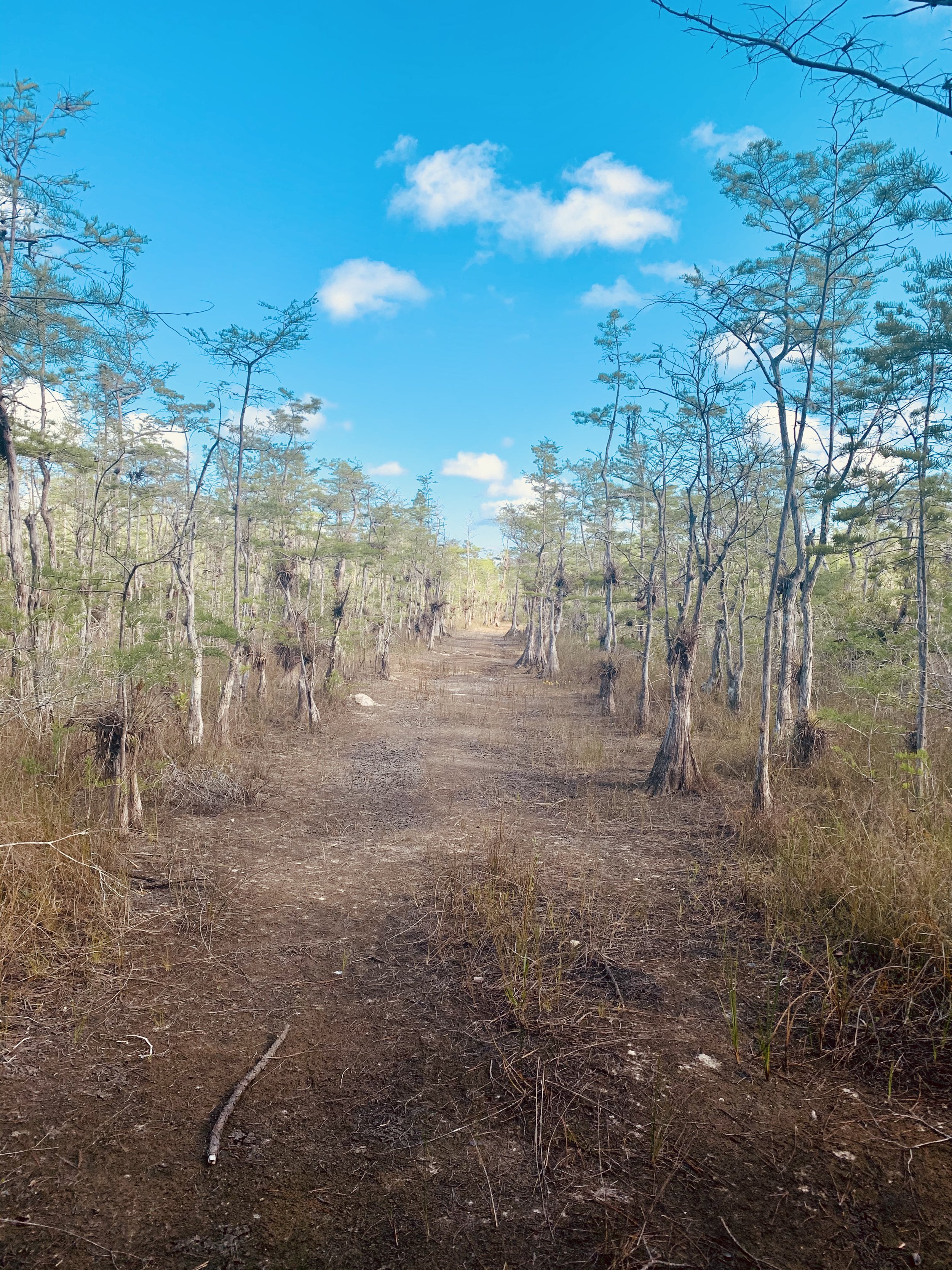
Typical terrain, very technical and slow going.
We rode south across the Big Cypress Reservation, and the terrain was amazing. The parts that were not on well-maintained gravel levees were on good hard clay and packed sand roads. We got to the north end of Big Cypress Preserve at I75 and immediately hit mud the likes of which I had never seen. That was followed by miles and miles of waist-deep water. Tons of folks have done this on foot as the Florida Scenic trail ran parallel to our route, but with a bike, it seemed pointless. There had to be a better way; it was just impassable.
March of 2020 had been exceptionally dry, so certain parts of the deep swamp that are usually flooded were open. Just as the pandemic started, I had mapped a scout to traverse from the existing route at Turner River road to the same spot I bailed at on my first attempt. Toni Valley was available to join; it was great that I didn't have to do it alone. The goal of this traverse was to get across and hopefully remove a bunch of pavement from the Florida Divide route.

Toni Valley Navigating the massive chunks of bare earth.
We got to our base camp a day ahead of time, and it was HOT out there. In retrospect, deciding to take extra water was probably the most brilliant thing. I had spent years looking at the Concho Billie buggy trail on the map but had no idea what it would be like.

The gate to the airport where I almost found water Had I know where to look better. Our night may have been different had I the knowledge then that I do now.
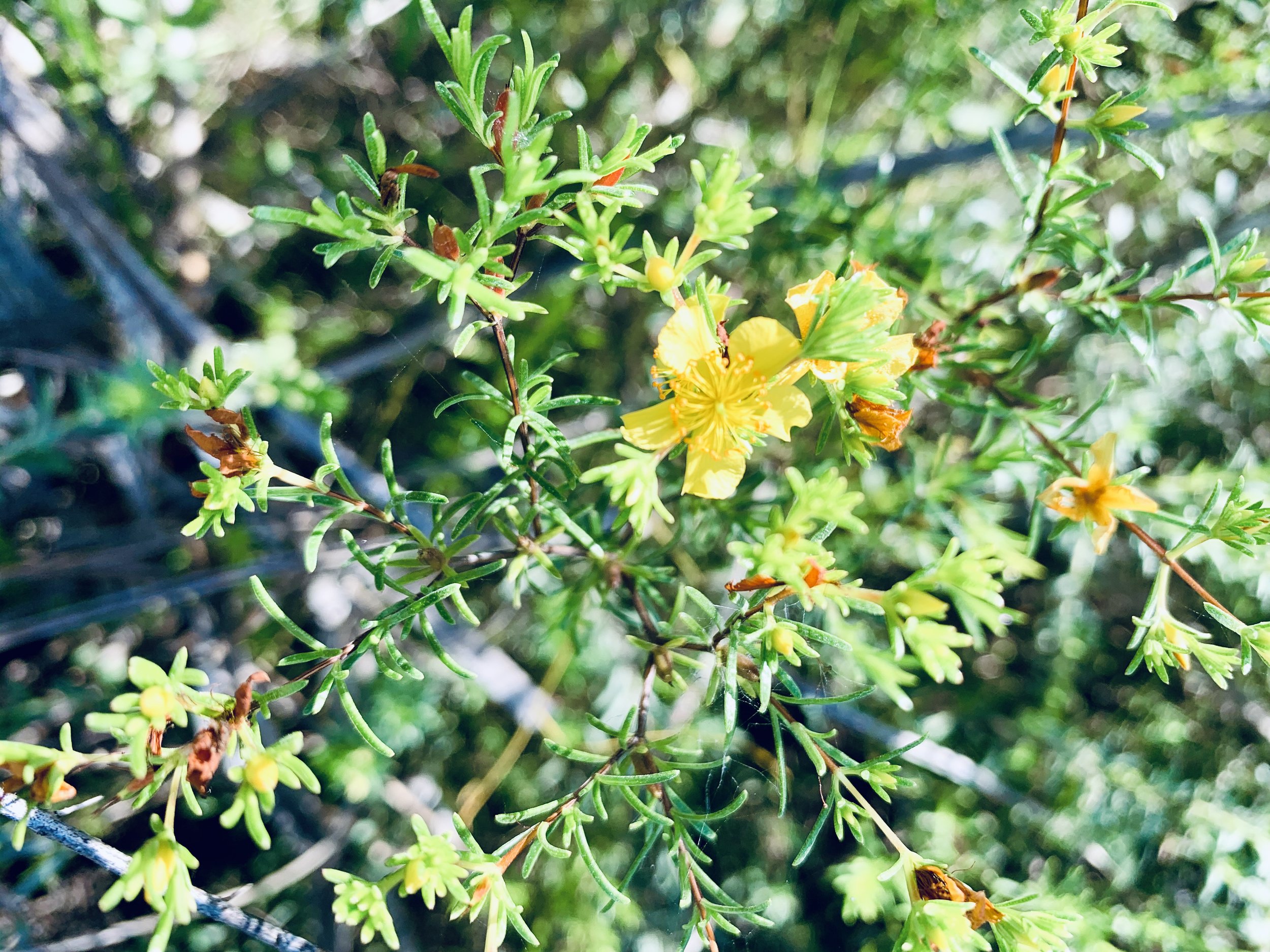
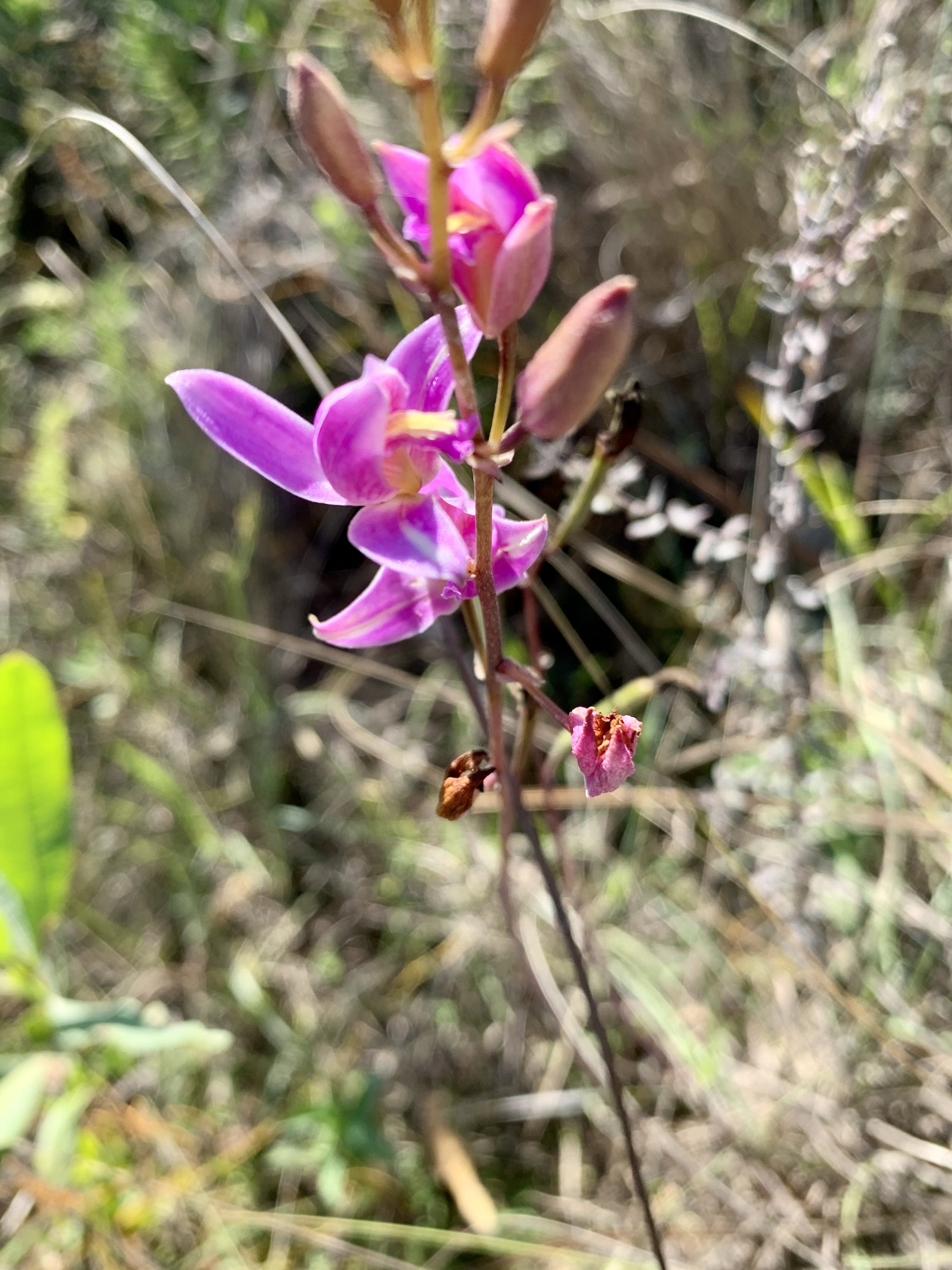
We started Concho Billie, and it was as if the raw earth had opened. It was a jagged, deep limestone buggy-rutted road. It was unbelievable how perfectly flat it was, which left no opportunity to build momentum. Simultaneously, we marveled at the orchids that sprouted from the center of the trees, and we were tortured by the slow-going progress from the technical terrain underneath. The landscape was something out of the nightmare before Christmas but greener. The parts of the Trail that didn’t see regular buggy traffic were impeccably forested with perfect double track, similar to the forest in my home area. In other places, it was a SLOG, like climbing up a mountain that had zero elevation change.
The swamp was bone dry. I had counted on a bit of surface water to keep us hydrated, but none was found. On the map, I saw a label for a mud lake, and we made our way to it. Typically, filling at a lake is a non-issue, but the gators were super aggressive. Over the past years, I have spent a fair share of time in the woods, and typically gators don't intimidate me, but these ones were different. I had never seen behavior like this as they started gathering in a formation and coming towards us. We had to use teamwork, crouching back to back while holding a machete to fill our bottles and bladders.

Just chipping away.
On long journeys, we all do a certain amount of calculations, and I knew that conditions were not in our favor when factoring the amount of water we had vs. the terrain we had to cover. Earlier, we had passed a cabin with no trespassing signs that had water, but we didn’t disrespect the invisible boundary. On the map, there was a waypoint for a place called Osceola Camp. I was hoping Osceola camp may have surface water or a rain collection system. The road to Osceola camp was fun, but at some point, the trail ghosted. It totally disappeared. There was no finding it. I looked so hard, but it was just gone and a heartbreaking blow to our morale. On the map, it was only a few miles to the camp dot, but with the sun setting, I couldn’t take the chance of getting lost. We did the smart thing and backtracked.
It got pitch black out there, but the night was cool and crisp in comparison to the blazing heat of the day. I saw a dot on the map for an old airstrip(Calusa Ranch) and figured they might have water. I would have to trespass but felt this was an urgent situation. We found the airstrip but no buildings. After the trip was over, using satellite images, I found out that there was a building out there. Everyone take note when searching for water at an abandoned airstrip; if there is a structure, it will be in the middle of the strip, not at either end.
More from Concho Billie
We camped at the gate that had led us into the airstrip. It took me minutes to pitch my tent, and we went straight to sleep. The truth is, we were tired, hungry, and thirsty. We had so much food to prepare but not enough water to spare for cooking. We ate Dates, drank coconut water, and kept it light. The next morning we had only 12 more miles to go, but at our current pace, that was 4 hours at best.
Fortunately for us, the trail let up a bit. The terrain became easier. I found a puddle on the trail, with tiny fish in it and cool crisp water to clean. We rode a dried swamp bed road complete with crunching mud underneath. In comparison, day two was magical. We found another cabin with a rain collection set up, drank our fill, topped our bottles, and soaked our clothes in water before putting them back on.
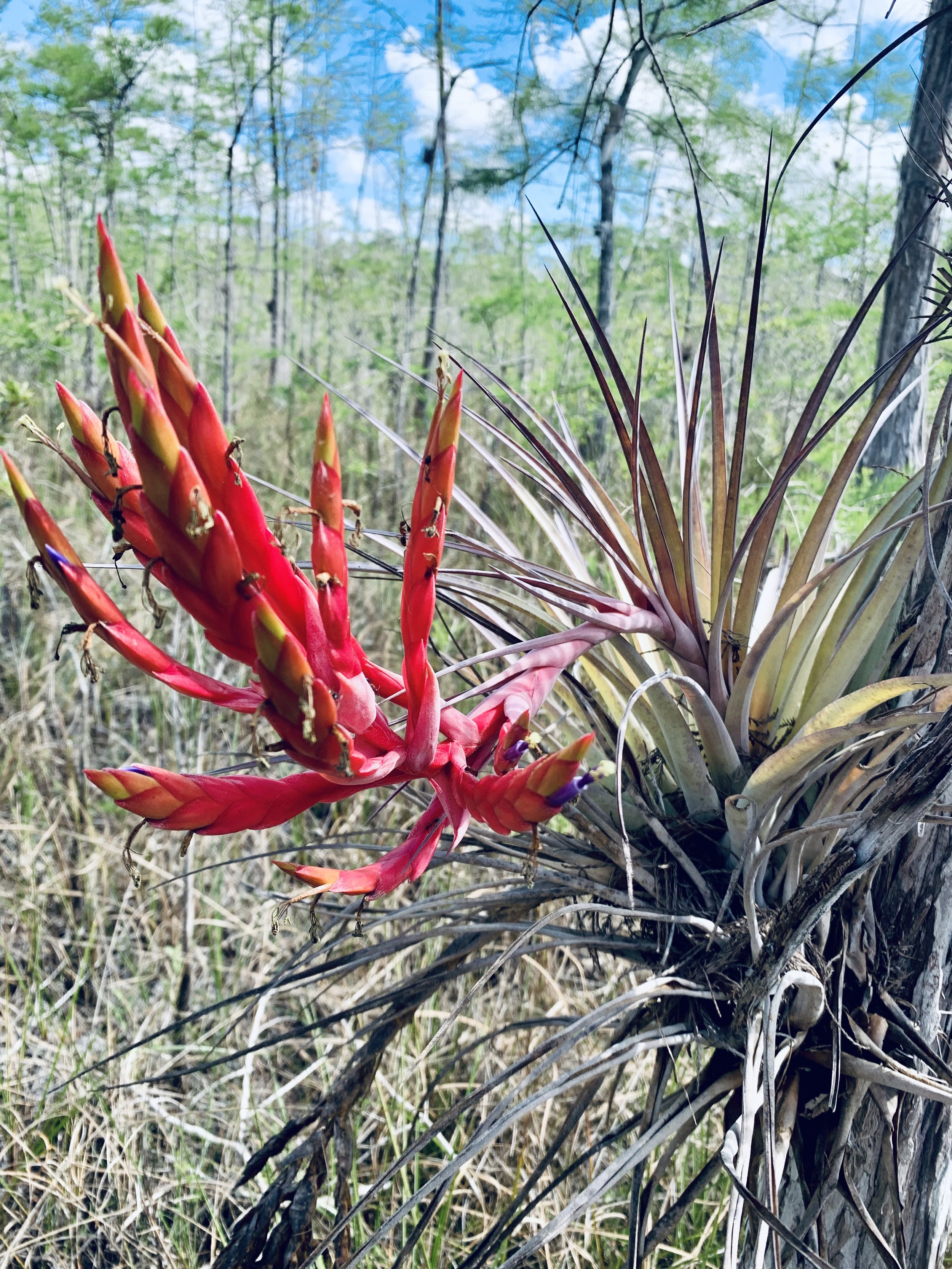
Strangely beautiful in a Dr Seuss Kind of way.
We spent the last 6 miles of the route hopping from shady spot to shady spot to escape the roasting sun. We got a glimpse of a cellular tower and Interstate 75 and the gate that led to the very same spot I got turned around seven years ago. Toni’s legs were flying, and she could smell the escape and the finish line. As we got closer to the exit, in the mud, there were so many tracks of other bikers that had tried to go where we went but got turned around. We had made it, and we had done something that perhaps no one had ever done by bicycle before; we traversed across the heart of Big Cypress.
The rest area facilities had snack machines that I could tap with my apple watch, and I went crazy buying ice cream and cold snacks as we waited for our ride back to basecamp. Big Cypress had proven again to be a mammoth of an undertaking. It humbled me. It showed me beauty and, at the same time, savagery. I couldn’t wait to go back to solve the riddle and create a viable year-round route through the heart of the preserve.